Application of Spatial Data Mining techniques in GIS application help describing a regular change of non-spatial attributes when moving away from certain start objects.
Big Data Mining Empowering GIS Application
Brief Introduction
The success of the geospatial application in any project depends upon the selection, collection, sorting, and end-usage of data. As the amount of remote sensing and other spatial data keeps getting bigger every day, mapping and analysis become further complicated even with the explosion of disruptive technologies like the cloud, embedded sensors, mobile and social media. Thus, making traditional GIS systems often insufficient for meaningful interpretation and understanding of spatial data.
Data mining is the automated process of discovering patterns in data. Spatial data mining is the application of data mining techniques to spatial data. Spatial data mining follows along with the same functions in data mining, with the end objective to find patterns in geography. The purpose is to find correlations among different datasets that are unexpected.
The four major categories of machine learning techniques applicable in spatial data mining in empowering GIS application for better result interpretation are Classification (i.e. Supervised and Unsupervised), Association, Clustering, and Numeric Prediction. Discusses below are the identified areas of application in the GIS Application.
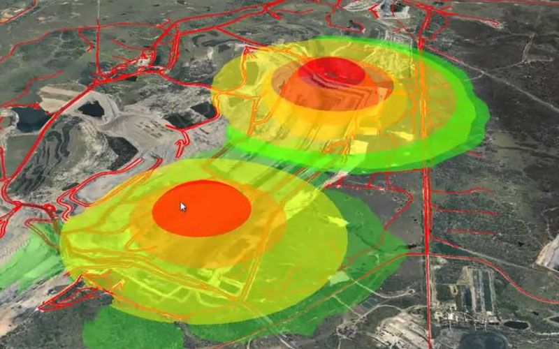
Spatial Trend Detection in GIS
Application of Spatial Data Mining techniques in GIS application help describing a regular change of non-spatial attributes when moving away from certain start objects. Global and local trends can be distinguished. Detecting and explaining such spatial trends, e.g., economic power is an important issue in economic geography.
Spatial Characterization of Interesting Regions
Another important task of application of Spatial Data Mining techniques to spatial economic characterizes a certain target region such as areas with a high percentage of retirees. Spatial characterization considers the attributes of the target regions and neighboring regions and their properties.
How GIS Works with Big Data
GIS tools search, sift and sieve data from multiple databases to organize it for better workflows and spatial analysis. They run operations that aggregate terabytes and more of spatial information, run analysis, and visualize results as maps. All this occurs in real-time, with multiple data streaming into the existing GIS for a better understanding of spatial trends and relationships
How Big Data Helps Maximize Spatial Analysis for Predictive Modeling
Big Data technology helps to enhance operational efficiencies and add value for a business edge, sustainable practices, and policymaking.
Taps huge datasets for policy measures – GIS tools for Big Data processing facilitate deep insights and predictive modeling for policymaking in health care, crime detection, disaster response, and more.
Supports spatial analysis of unstructured data in real-time – Maps integrate unstructured data (e-mails, blogs, social media content, in-store sensor data, meteorological data, driving times, etc.) in real-time. This is useful for location analysis in retail, finance, and insurance.
Integrates multiple data layers for a complete picture – Huge amount of data is pulled from different formats, devices, or systems and given a geographic context for a complete picture or analysis.
Empowers Business Intelligence (BI) approach to businesses – The convergence of Big Data and mapping leads to deeper insights, profitability, lesser time-to-market, improved customer engagement, and better ROI.
Enables spatiotemporal queries over big geospatial data – Case-by-case query processing and data mining of huge spatiotemporal data is possible for different projects.
Application Areas
The Big Data approach to GIS allows analysis and decision making from huge datasets, by using algorithms, query processing, and spatiotemporal data mining. In simple words, this means extracting information from the maximum possible sources using established procedures and computational techniques.
Areas where geospatial technology has applied Big Data for enhanced analysis:
Climate modeling and analysis
Location analytics
Retail and E-commerce
Intelligence gathering
Terrorist financing
Aviation industry
Disease surveillance
Disaster response
Political campaigns and elections
Banking
Insurance and Fraud analysis
