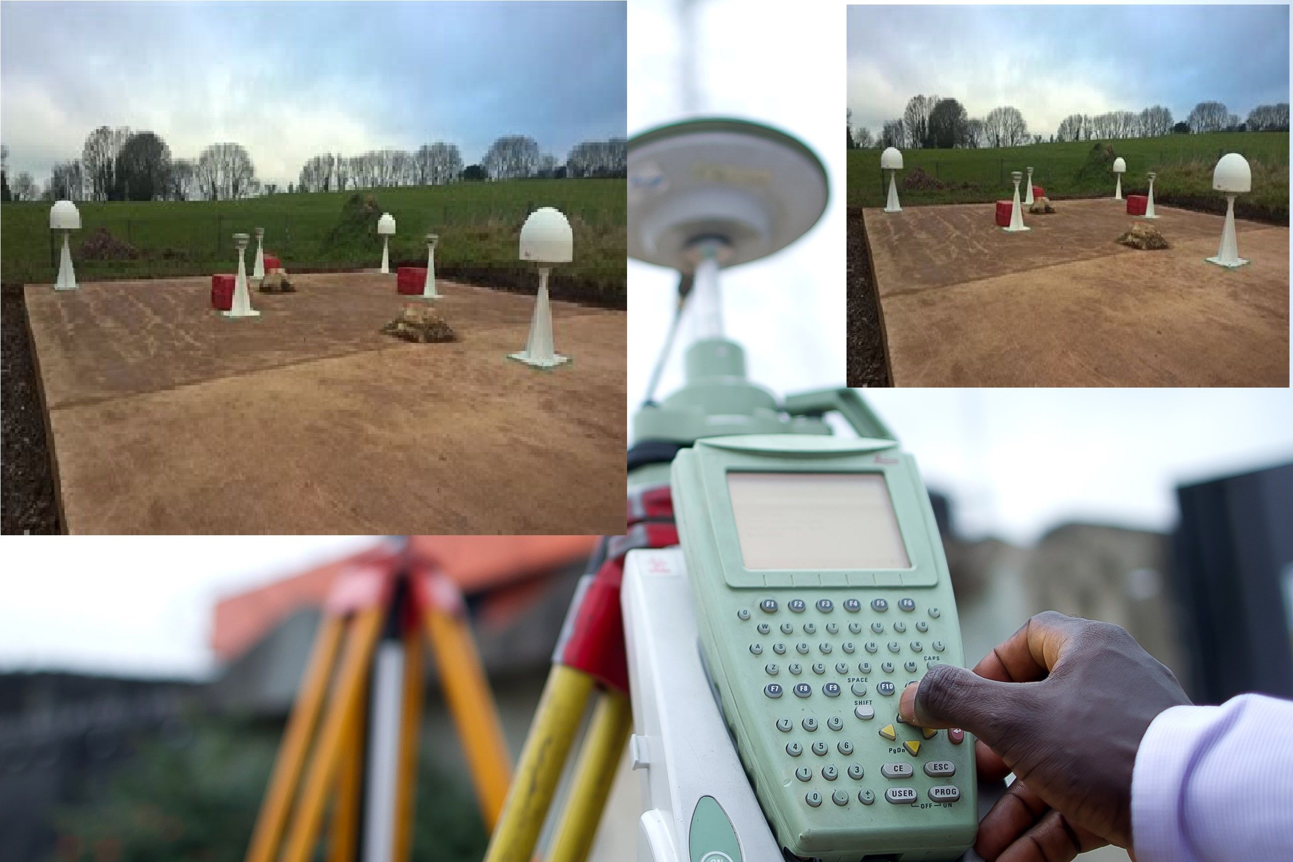
GEODETIC CONTROL SURVEYING
We provide a geodetic reference framework forming the spatial foundation for the creation of any Land-Information System (LIS). This consist of monumented points whose locations have been accurately determined with respect to a mathematical framework, this system permits the spatial referencing of all land data to identifiable positions on the Earth’s surface.
We provide a geodetic reference framework forming the spatial foundation for the creation of any Land-Information System (LIS). This consists of monumented points whose locations have been accurately determined with respect to a mathematical framework, this system permits the spatial referencing of all land data to identifiable positions on the Earth’s surface.
A geodetic reference framework provides not only an accurate and efficient means for positioning data, but also provides a uniform, effective language for interpreting and disseminating land information.
